One little valley with a long history — the Ute homeland, a New Deal dam that drowned the old ranches to build the lake, and the fishing, hiking, wildflowers, wildlife, and dark skies that draw people back today. Every photo here is of Vallecito or its immediate surroundings, freely licensed, and credited; tap any image to enlarge.
Long before it was a reservoir, this was Nuche country. Vallecito — Spanish for “little valley” — sits in the ancestral homeland of the Weeminuche band of the Ute people, the same name carried today by the Weminuche Wilderness that rises just above the lake. The Utes wintered in sheltered river valleys like the Pine (Los Piños) and followed the elk and the ripening berries into the high country each summer — a seasonal round they walked for thousands of years.
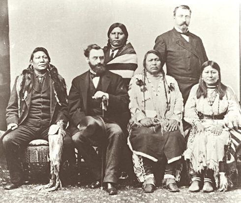
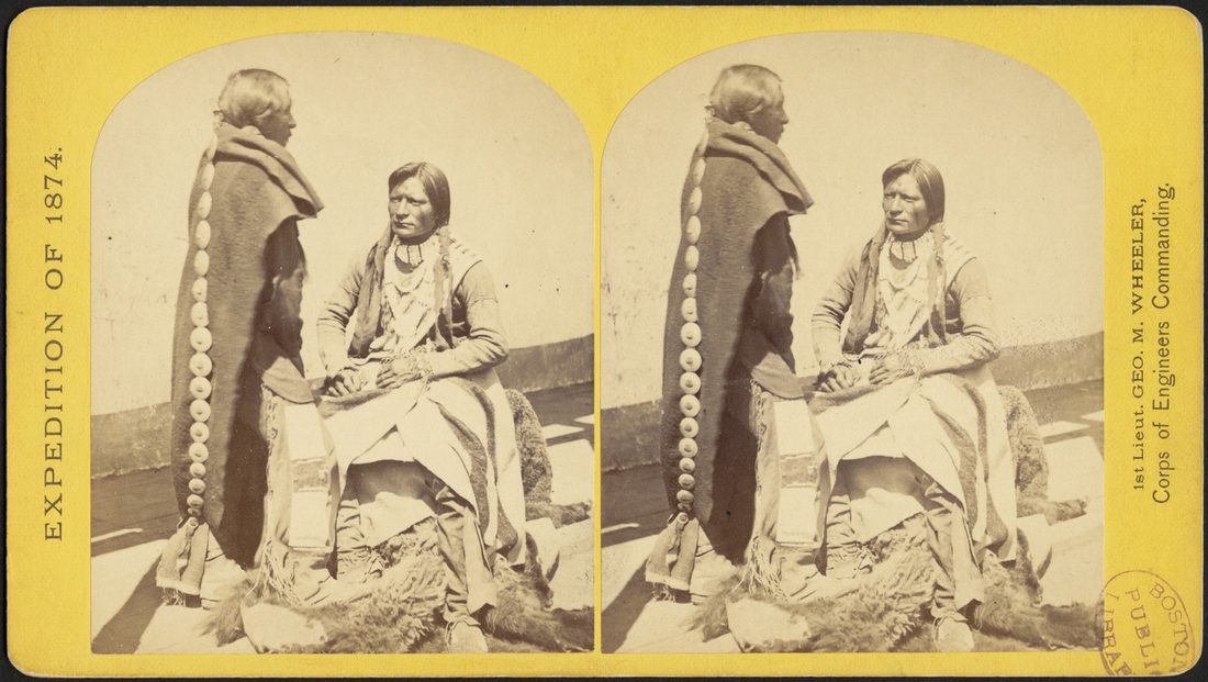
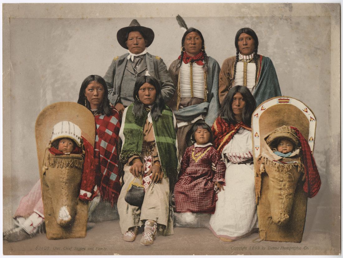
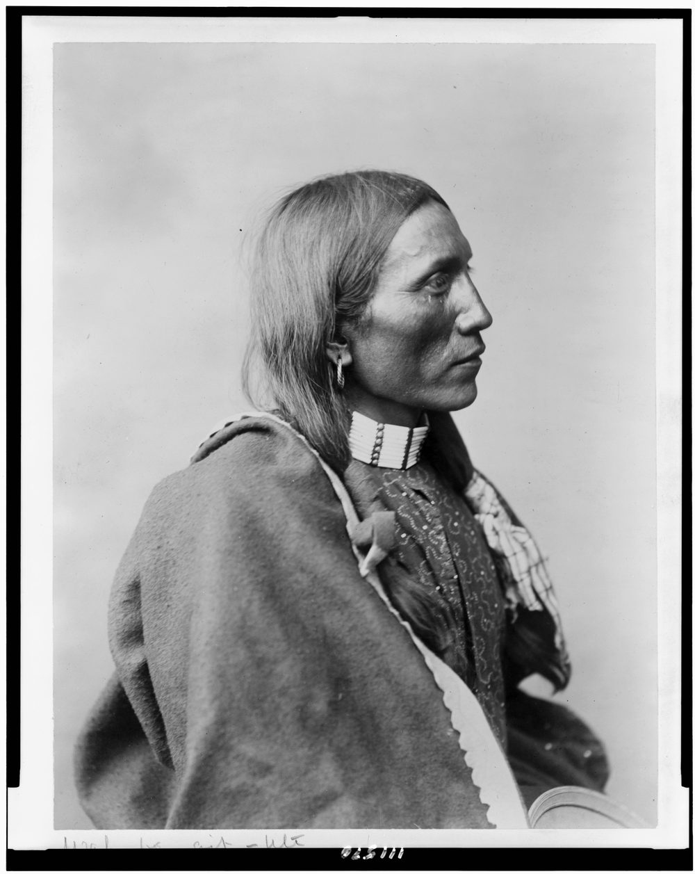
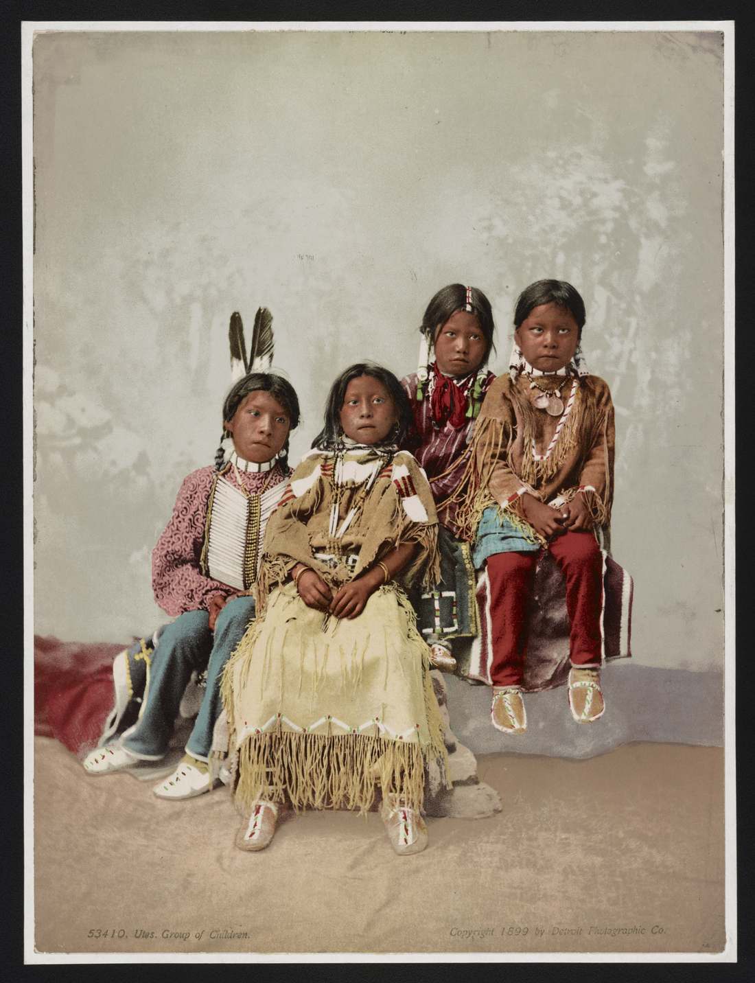
By treaty in 1868 the Utes held most of western Colorado; the Brunot Agreement of 1873 stripped away the mineral-rich San Juans, and the Southern Ute Reservation was drawn along the New Mexico line just south of here. That history still runs through the water: the Southern Ute Tribe holds a major share of the Pine River Project that built Vallecito, and tribal lands downstream are irrigated by its releases. These archival portraits are of Ute and Southern Ute people of that era — honest to the heritage of this place, not claimed to be photographed at the lake.
Ute delegation, 1880 — incl. Southern Ute leader Ignacio. Mathew Brady · Library of Congress (PD).
Capote band men, 1875 — a Southern Ute band. Timothy H. O'Sullivan (PD).
Chief Sevara & family, c.1885. Detroit Photographic Co. via DPLA (PD).
Wah-be-git, 1899. Rose & Hopkins, Denver · Library of Congress (PD).
Ute children (undated). Library of Congress (PD).
Learn the living side of this story on Respect Vallecito — Ute water rights, the Good Neighbor ethic, and how to tread lightly on a place that's been home for millennia.
Vallecito in Pictures
The dam & the New Deal
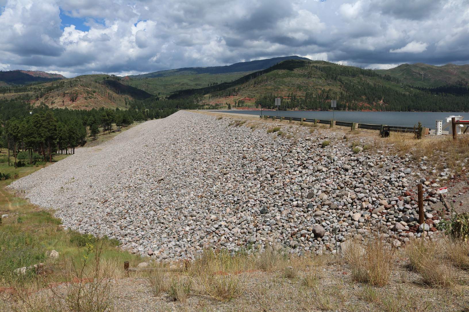
Vallecito Dam — 162 feet of earthfill, finished 1941, holding back ~129,700 acre-feet of the Pine River. Jeffrey Beall · CC BY 4.0
The lake is younger than the highway to it. In 1937 the New Deal authorized a Bureau of Reclamation dam on the Pine River; ground broke on May 14, 1938, and crews — including Depression-era labor — moved 3.7 million cubic yards of earth to raise a 162-foot dam, finishing in March 1941. An Army Corps engineer, Major C. A. Burns, photographed the whole build; those original prints survive at Fort Lewis College's Center of Southwest Studies.
What the water covered is part of the story too: the new reservoir drowned the valley floor — homesteads, hayfields, and the old wagon road — to store irrigation water for some 45,000 acres of farms plus 18,500 acres of Southern Ute land downstream. Today the dam is operated for flood control and irrigation, and the “level falling through late summer” you see on our conditions page is simply that 1941 promise being kept, one release at a time.
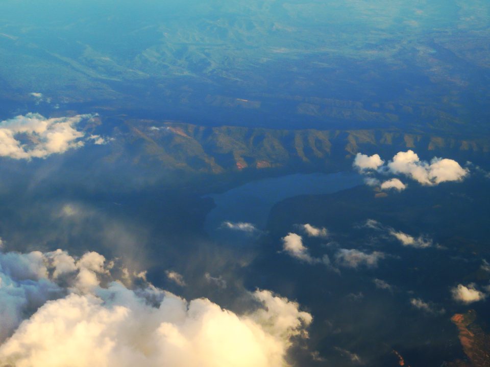
The reservoir from the air. Ken Lund (CC BY-SA 2.0).
Help tell this chapter: the 1938–41 construction photographs (Maj. Burns' album) are held by the Center of Southwest Studies at Fort Lewis College. If you can help us secure permission to feature a few, please get in touch — they'd make this section sing.
Vallecito in Pictures
Old Vallecito & early families
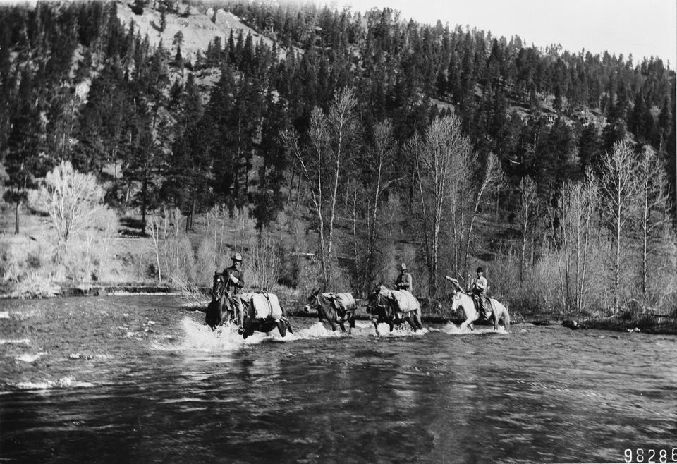
Fording Vallecito Creek, 1911 — the valley as it looked three decades before the lake existed. USDA Forest Service · public domain
After the Homestead Act, settlers drifted up the Pine River valley and built ranches where the creeks came together — the same bottomland that's now under the lake. Two of them are still on the map: John T. Graham and Thomas Wilson each have a creek named for the homestead they worked on the east side of today's reservoir. Cattle, hay, and hard winters; a one-room school; a chapel that began as gospel singing around a piano at Lost Creek Lodge in 1951.
Those families' descendants still ranch and run businesses around the lake, which is exactly why the best old photographs aren't in a federal archive — they're in shoeboxes and at the Pine River Library. We're working to feature a few with permission and full credit.
Got an old Vallecito photo? A family ranch, the dam going up, the lake filling, a 1960s fish-fry — we'd love to feature it with your credit. Send it our way.
Vallecito in Pictures
The lake today — out on the water & the trail
Twelve miles of shoreline at 7,665 feet — the working community lake. Jeffrey Beall · CC BY 4.0
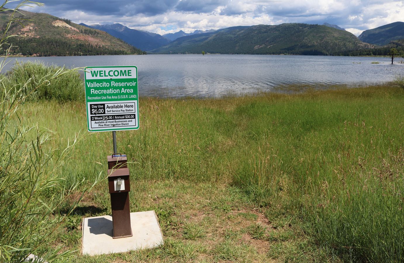
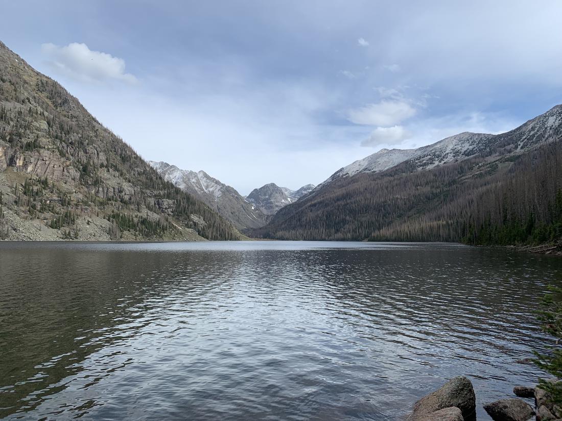
Vallecito is a lake people use: pontoons and fishing boats off the marina, kayaks and paddleboards in the early calm, six Forest Service campgrounds in the pines, and trailheads at the north end that walk you straight into the Weminuche Wilderness — Colorado's largest, nearly half a million acres. Seven gamefish swim here, kokanee salmon are the headliner, and a twenty-pound pike is the trophy.
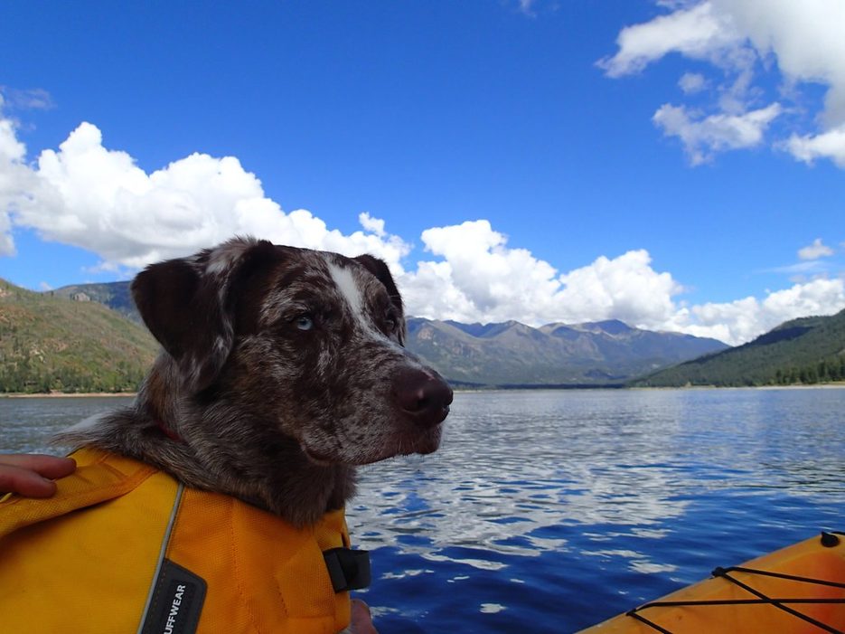
Kayaking the reservoir — calm early water (dog optional). Alan Levine / cogdog (CC BY 2.0).
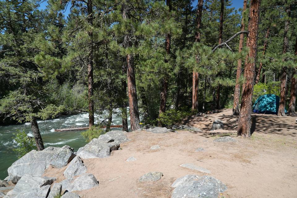
Vallecito Campground — 80 sites in the pines. USDA Forest Service (PD).
Vallecito Creek Trail — the gateway into the Weminuche. SFC H (CC BY 3.0).
Emerald Lake — up the Pine River trail from the lake. Penguin314 (CC BY-SA 4.0).
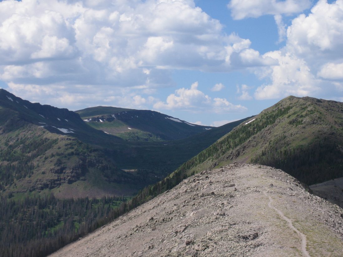
The Continental Divide Trail in the Weminuche above the lake. Charlie DeTar (CC BY-SA 3.0).
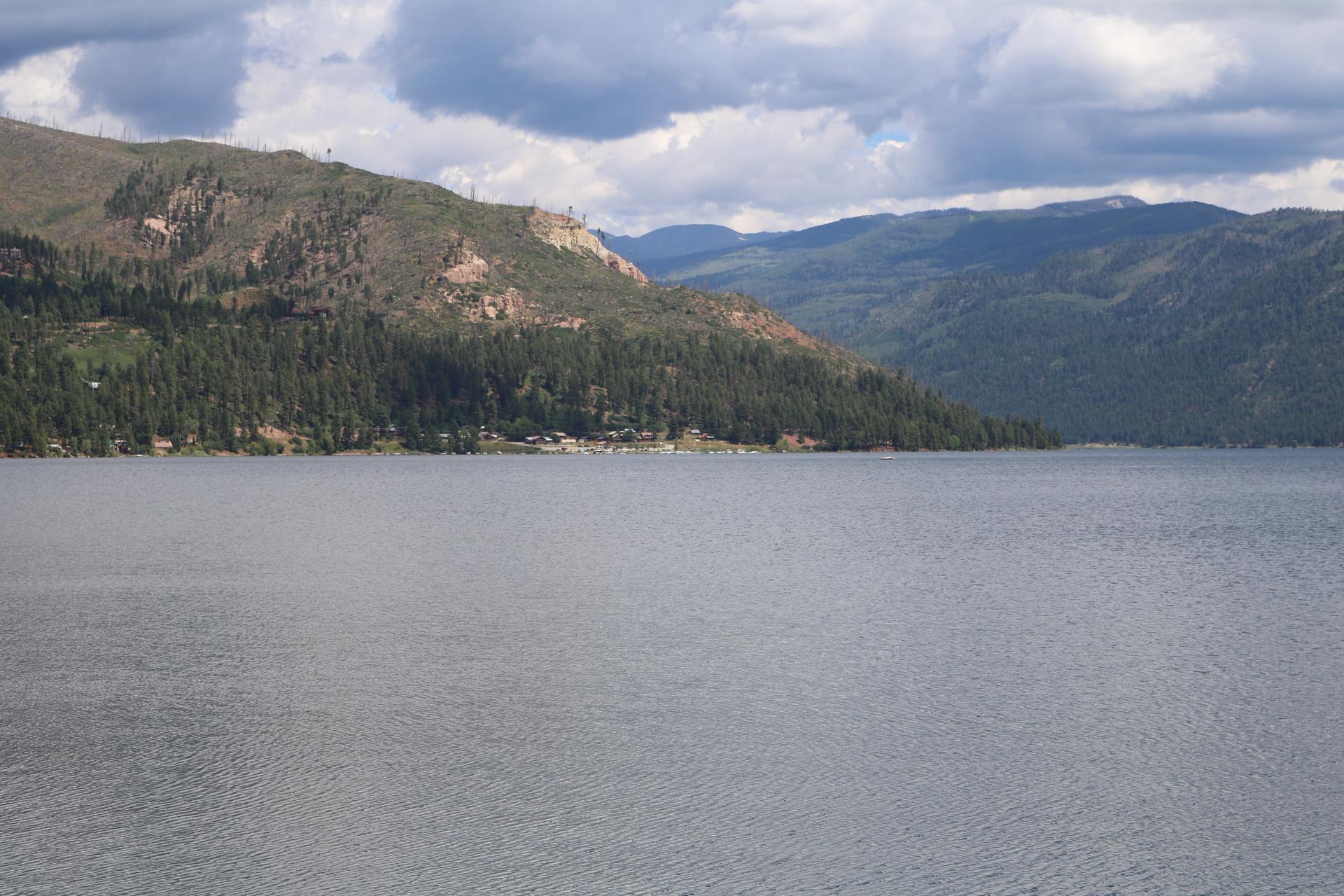
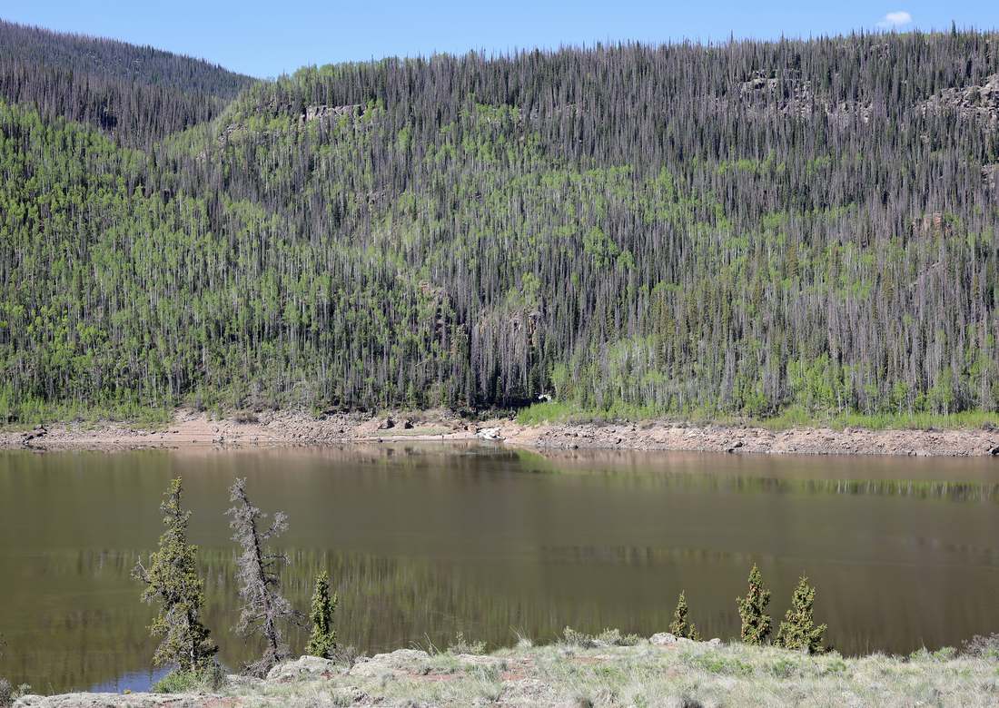
Across the reservoir — open water and the marina shore. Jeffrey Beall (CC BY 4.0).
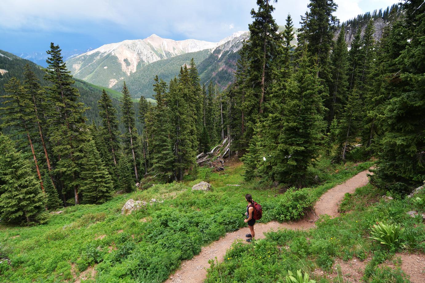
Hiking the San Juans — climbing toward Ice Lake Basin. Paxson Woelber (CC BY-SA 4.0).
The Weminuche Wilderness — Colorado's largest, rising right out of the Vallecito drainage. Delaywaves · CC BY 3.0
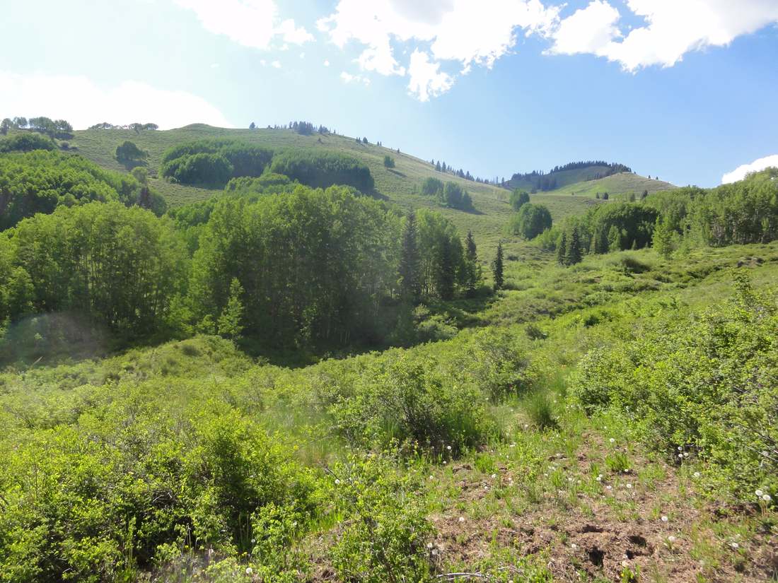
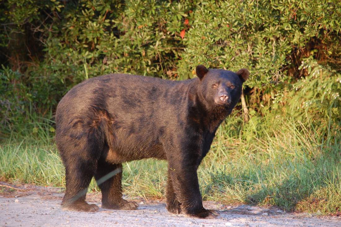
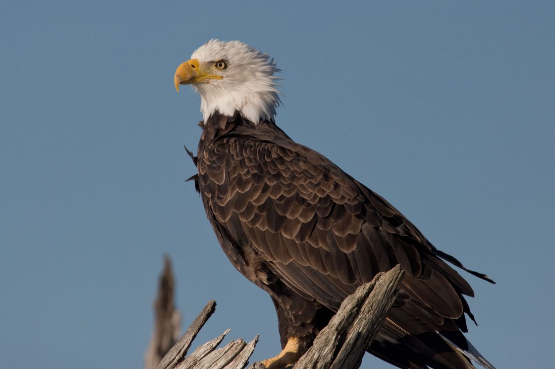
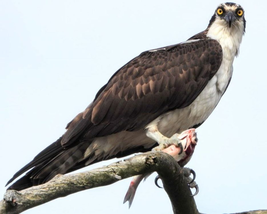
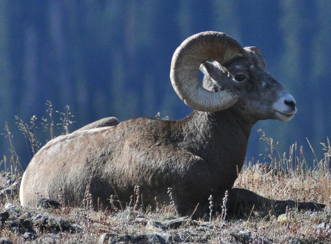
Step away from the water and the wild takes over fast. Elk and mule deer move through the aspen; black bears work the oak brush in fall (lock up the cooler); moose have returned to the willow bottoms; bald eagles winter over the lake and ospreys dive it all summer. The Weminuche even holds reintroduced lynx and Rocky Mountain bighorn. The wildlife photos below are of species that live here, honestly credited; the scenery is the country around the lake.
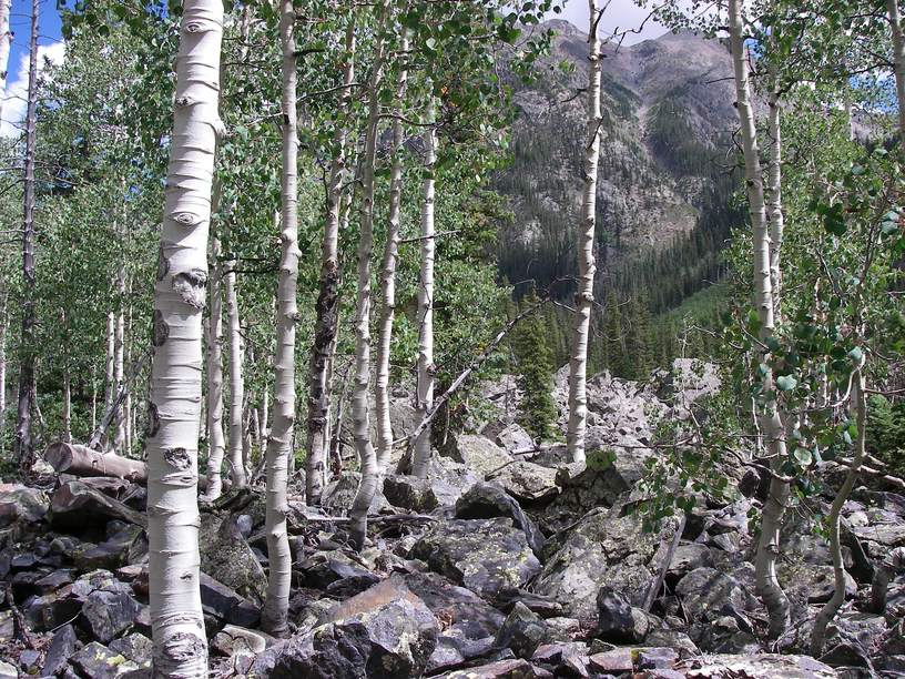
Aspen gold, Weminuche — late September. Public domain.
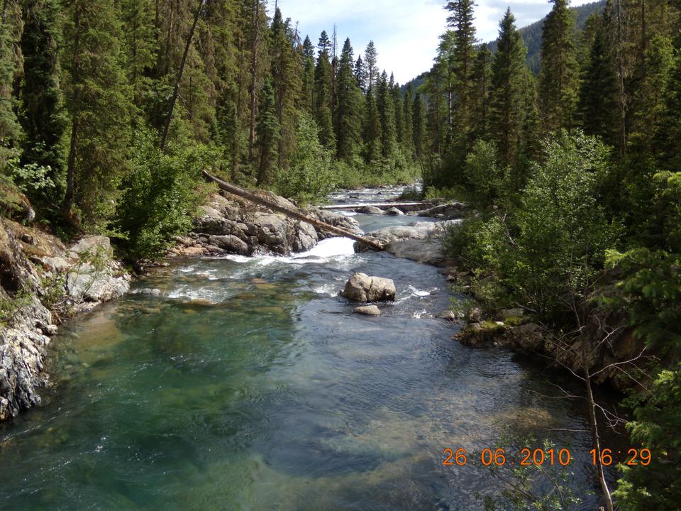
Weminuche Creek, above the lake. Jeffrey Beall (CC BY 4.0).
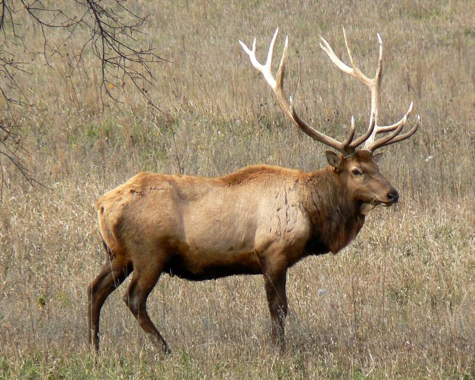
Bull elk — they bugle these hills every fall. Public domain.
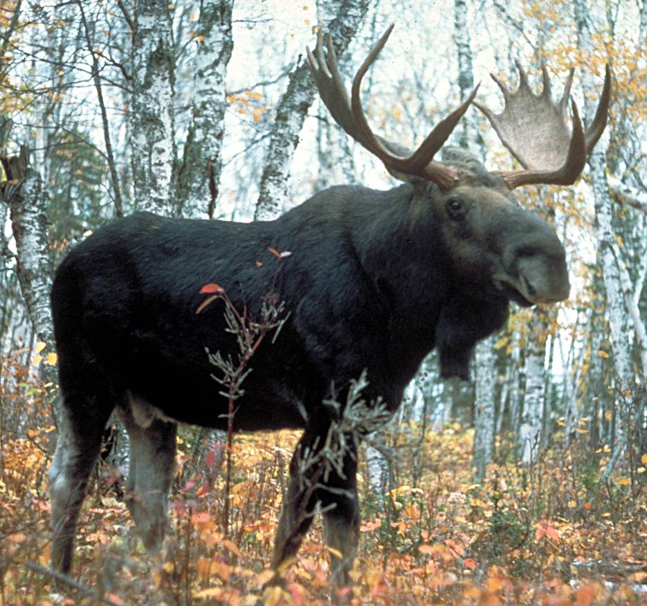
Moose — now regular in the willow bottoms. USDA Forest Service (PD).
Black bear — be bear-smart with your cooler. USFWS (PD).
Bald eagle — a winter regular over the lake. USFWS (PD).
Osprey — fishes the reservoir all summer. USFWS (PD).
Bighorn sheep — native to the Weminuche. dw_ross (CC BY 2.0).
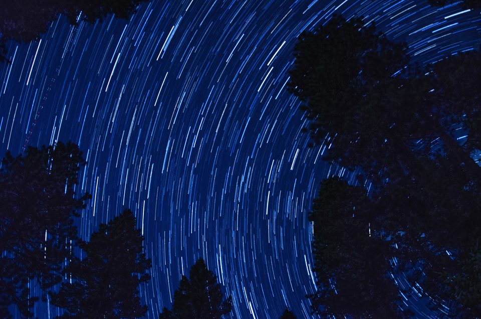
Star trails over Vallecito — genuine dark-sky country. Jared Lee (CC BY 3.0).
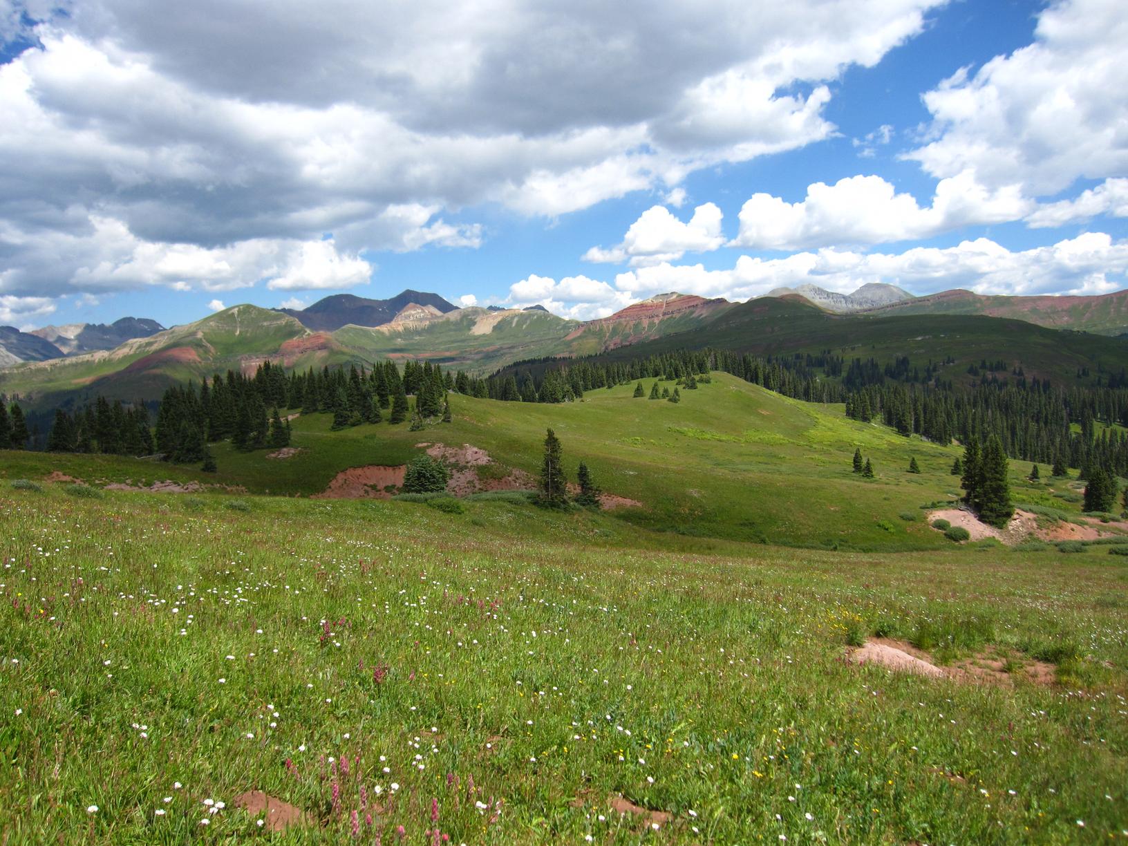
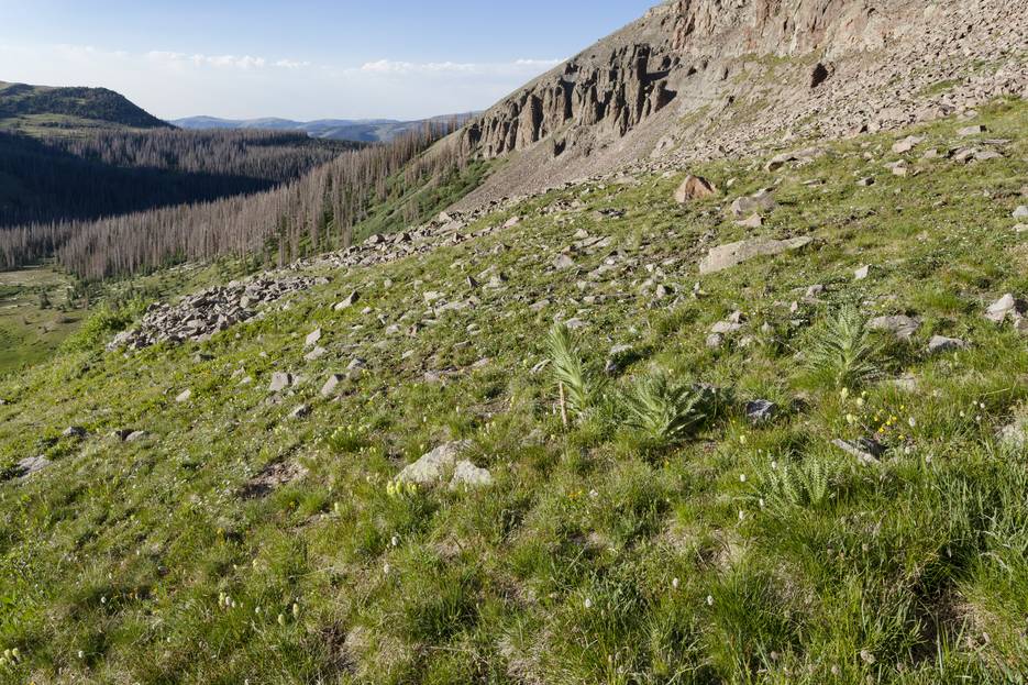
High-country meadow — wildflowers below red-streaked San Juan peaks. Chris M Morris (CC BY 2.0).
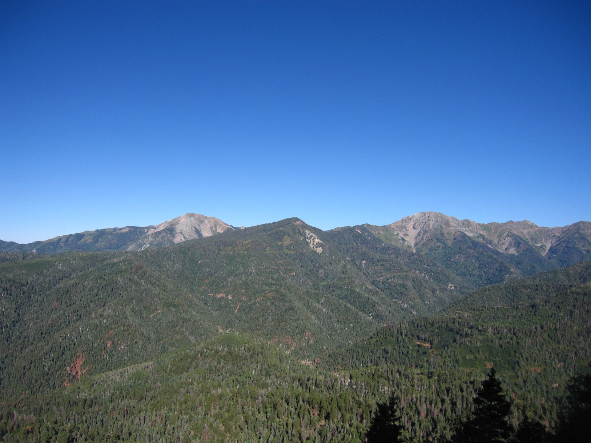
The La Plata Mountains — the range west of Durango, Silver to Lewis. Chris M Morris (CC BY 2.0).
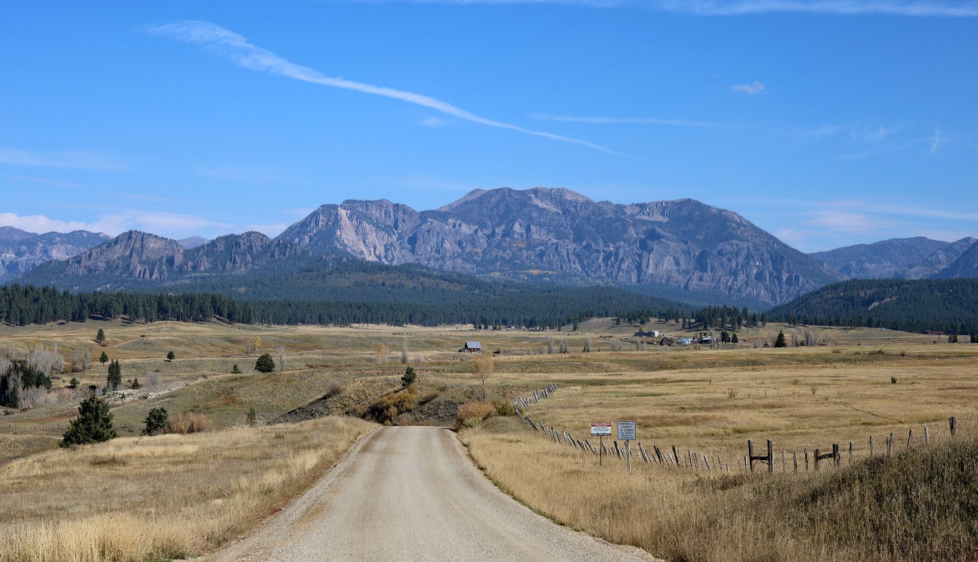
San Juan ranch country — the road to the high country near Piedra. Jeffrey Beall (CC BY 4.0).
More on the animals and how to share the country with them: the wildlife guide (bear-smart, moose distance, rattlesnakes lower down) and Respect Vallecito.
Vallecito in Pictures
Wildflowers — the high-country bloom
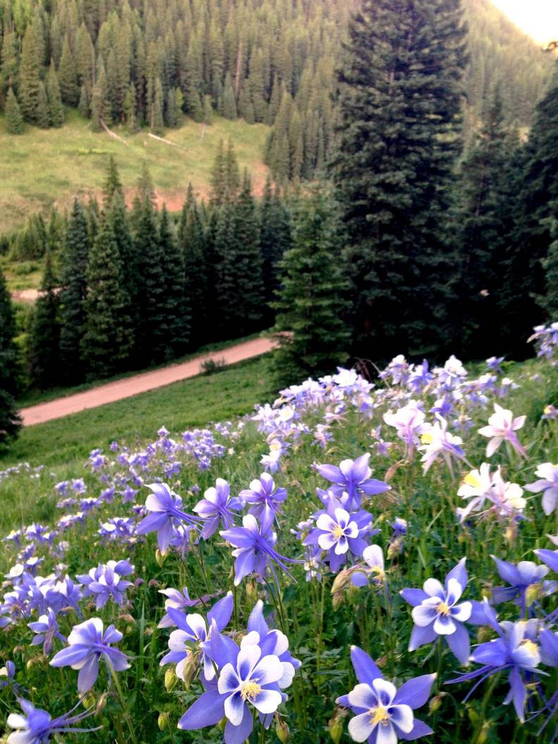
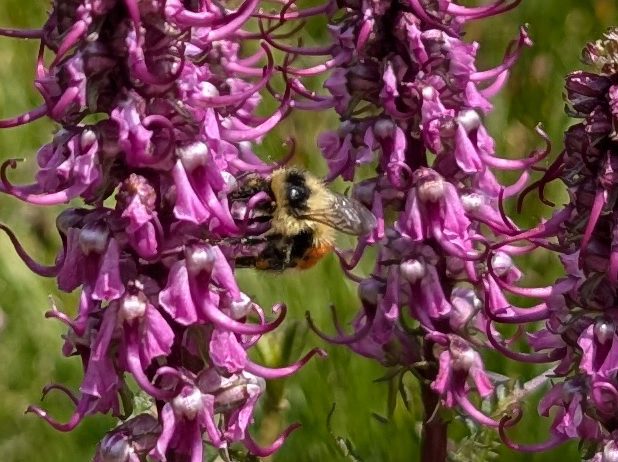
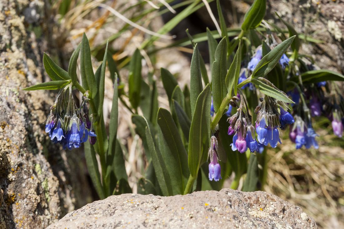
From snowmelt through August the meadows above Vallecito put on one of Colorado's great wildflower shows. Lower down, the Colorado blue columbine — the state flower — nods in shady aspen glades alongside scarlet Indian paintbrush and purple lupine. Climb into the Weminuche's wet basins and you'll find mountain bluebells, elephant heads, marsh marigold, and, on the highest tundra, the sunflower-faced old-man-of-the-mountain. Peak bloom is usually mid-July, a couple of weeks later the higher you go.
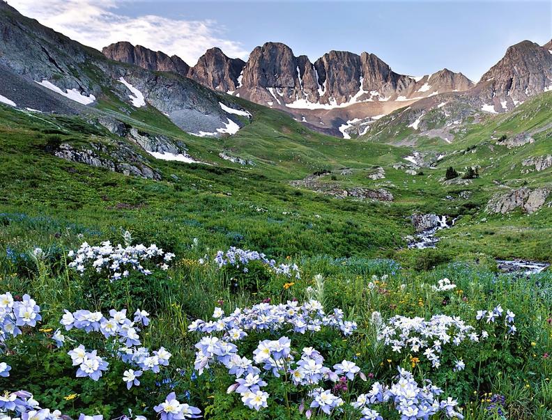
American Basin in full bloom — the kind of high-country meadow the San Juans are famous for. Bureau of Land Management · CC BY 2.0
Colorado blue columbine — the state flower, San Juan NF. José Garrido (CC BY 4.0).
Indian paintbrush — scarlet in the alpine, SE San Juans. Patrick Alexander (CC0).
Elephant heads — wet alpine meadows, San Juans. Zac Peterson (CC BY 4.0).
Mountain bluebells — San Juan high country. Patrick Alexander (CC0).
🌼 Got a great Vallecito-area bloom — columbine in your own aspen glade, a paintbrush meadow up the trail? Send it in and we'll add it with credit.
Help us show the lake
Photos we need
This gallery grows with the community. We're especially after: the Vallecito Creek bridge, the accessible fishing pier, glass-calm dawn at the marina, alpenglow from CR 501, a kid netting perch off the dock, Lake Eileen aspens in late September, and the Milky Way over Middle Mountain. See the full shot list & specs → Landscape 3:2, 2400 px+, no watermarks; we credit every photographer by name.