Trails around Vallecito & into the Weminuche
Before you go
From a flat lakeshore stroll to multi-day routes over the Continental Divide, with distances from the San Juan National Forest.
Trails at Vallecito Lake run from a flat lakeshore walk to multi-day routes into the Weminuche Wilderness. The classic day hike is Vallecito Creek Trail #529: about 3 miles to the first bridge and about 500 feet of gain. Distances are the San Juan National Forest’s. The October 2025 flood took out the Middle Bridge farther up; check the cautions.
Trails at a glance
Tap a card for that trail's full notes further down.
- The Lake Trails / “Walk Path”Easy
- Gain
- Flat
- Route
- Signed path segments
- Stump Lake #662Easy
- Distance
- 1.25 mi one-way
- Gain
- ~220 ft
- Route
- Out-and-back
- Tuckerville ghost-town walkEasy
- Route
- Road walk from FR 724 parking
- Lake Eileen #899Moderate
- Distance
- 2.1 mi one-way
- Gain
- ~1,150 ft
- Route
- Out-and-back
- Vallecito Creek #529 (day hike)Moderate
- Distance
- ~3 mi to first bridge
- Gain
- ~500 ft
- Route
- Out-and-back
- Pine River #523 (lower miles)Moderate
- Distance
- 2.7 mi to Wilderness boundary
- Route
- Out-and-back
- East-shore trio (North Canyon / East Creek #535 / Graham Creek)Moderate
- Distance
- ~10.5 mi total
- Gain
- ~3,340 ft
- Route
- Three trails
- Vallecito View #808Moderate
- Distance
- 1.7 mi one-way
- Gain
- ~710 ft
- Route
- Out-and-back
- Red Creek #726Moderate
- Distance
- 3.5 mi
- Gain
- ~1,600 ft
- Route
- Out-and-back, or 10-mi loop with First Fork #727
- Emerald Lake via Pine River + Lake Fork #528Hard
- Distance
- ~10 mi one-way
- Gain
- ~2,000–3,000 ft
- Route
- Out-and-back
- Cave Basin #530Hard
- Distance
- 4.5 mi one-way
- Gain
- ~1,550–1,720 ft
- Route
- Out-and-back
- Dark Canyon #814 to Runlett ParkHard
- Distance
- ~2 mi
- Route
- One-way singletrack
- Burnt Timber #667Hard
- Distance
- 7.0 mi
- Gain
- ~3,100 ft
- Route
- Out-and-back, or ~13-mi loop with Lime Mesa
- Endlich Mesa #534Hard
- Distance
- ~8.5 mi one-way
- Route
- Out-and-back
- Shearer Creek #558Hard
- Distance
- 7.8 mi
- Route
- One-way, unmaintained
- Vallecito Creek #529 (full)Strenuous
- Distance
- ~18–19.5 mi one-way
- Gain
- ~3,900–4,600 ft
- Route
- Multi-day, to Hunchback Pass
- Johnson Creek #821Strenuous
- Distance
- 7.25 mi
- Gain
- ~3,580 ft
- Route
- Multi-day, to Columbine Pass
- Rock Creek #655Strenuous
- Distance
- 5.5 mi
- Route
- Multi-day, to the Divide
- Flint Creek #527Strenuous
- Distance
- 8.4 mi
- Gain
- ~2,760 ft
- Route
- Multi-day, Pine River to Rock Creek
Hunting season is open
Archery, muzzleloader and rifle hunters are out September through November.
Hiking? Wear blaze orange or another bright color, keep dogs leashed and close, and expect hunters and horse trailers at the trailheads. Orange isn't required for hikers, just smart.
Hunting? With any firearm license, or bowhunting during a rifle season, Colorado requires at least 500 square inches of solid daylight fluorescent orange or pink above the waist, plus an orange or pink hat visible from all directions. Camo patterns don't count.
And yes, pink is legal. The elk aren't judging, and your hunting partner will spot you from the next ridge.
October 2025 flood damage
- On Vallecito Creek #529, the “Middle Bridge” (~5.5 mi up) washed away completely — the first bridge and twin bridges remain. The long-gone third bridge (~mile 7) is a 40-ft ford, dangerous in mid-May–mid-June runoff. Carry water shoes + poles.
- Forest-wide, “multiple roads and trails [were] damaged by flooding.” Check current status with the Columbine Ranger District, (970) 884-2512.
Access & Wilderness rules
- Pine River #523 starts through the private Granite Peaks Ranch gate; the first 2.7 mi cross ranch land — no camping, no fishing, stay on trail, close gates (it's a fragile permissive easement).
- Weminuche Wilderness: no bikes/motors/drones, groups ≤15 (people+stock ≤25), dogs under control, no camping within 100 ft of water.
- Moose & cattle: moose have moved into these drainages and unleashed dogs trigger charges — keep yours close; expect open-range cattle on forest roads. See the wildlife guide.
- Emerald Lake: no camping/fires within ¼ mi of Emerald & Little Emerald; no camping ½ mi north of Emerald.
Check fire restrictions and live conditions before heading out; trailheads are on the lake map. Wilderness rules in full: Respect Vallecito.
Easy
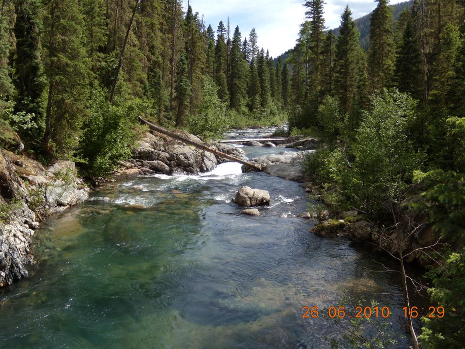
The Lake Trails / “Walk Path”
Access: signed segments along CR 501/CR 501A. Flat, with benches, picnic and fishing spots — the closest thing to a lakeshore promenade, and on almost no apps. Great for families and a sunset stroll.
Stump Lake #662
1.25 mi one-way · ~220 ft (10,96011,180 ft), Lemon/Florida side. A kid-friendly high-lakes walk to small brook-trout lakes. Getting there is the catch: FR 597 is rough and slow (high-clearance). Summer.
Tuckerville ghost-town walk
Easy high-country road walking from the FR 724 parking (~8 mi up, high-clearance) to a 1913–1928 mining-camp site — structures are gone (look, don't take), with meadow and spruce-ridge views. Road open seasonally ~Jun 1–Nov 30; passenger cars OK when dry to about Runlett Park. A quiet pick. The camp's history is on Tuckerville; route notes on the Middle Mountain guide.
Dam-area walking
Walk CR 501 over the dam and the south-end Walk Path segments. Note: there is no public trail below the dam (private + Southern Ute land) — don't count on a below-dam river walk.
Moderate
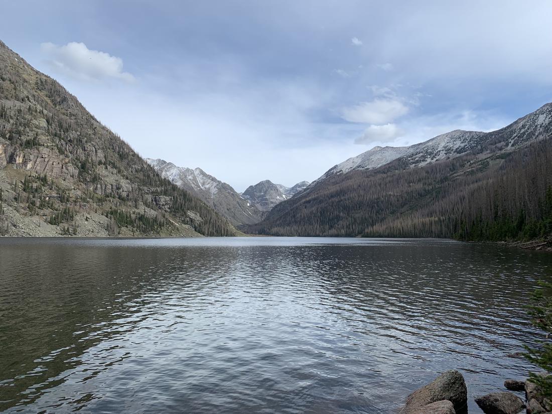
Lake Eileen #899
2.1 mi one-way · ~1,150 ft (FS; AllTrails 3.8 mi RT). The one locals under-mention: steep-for-its-length through aspen to a lily-pad lake and a ridge overlook of the reservoir — a fall-color standout and a Colorado Birding Trail site. TH on the CR 501 west side opposite the FS Work Center (park on the east side). Wilderness rules apply.
Vallecito Creek #529 (day-hike portion)
First bridge ~3 mi = the classic turnaround. TH at Vallecito Campground (end of CR 500). The first 0.6 mi is flat (“great with kids” — FS), then switchbacks climb ~500 ft above the creek. THE famous local hike and a winter snowshoe route — so the first 3 mi are busy. See the flood caution: the Middle Bridge (~5.5 mi) is gone.
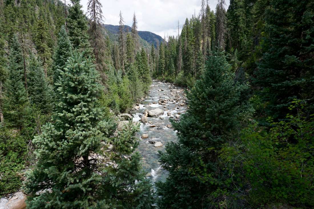
Pine River (Los Pinos) #523: lower miles
TH at the end of FR 602 (3.8 mi off CR 501, north end). Crosses Granite Peaks Ranch for the first 2.7 mi to the Wilderness boundary (see cautions). Above it: open meadows and “some of the finest fly-fishing anywhere” (FS). The full trail runs 23.2 mi to Weminuche Pass.
East-shore trio: North Canyon / East Creek #535 / Graham Creek
A quiet locals' system climbing the east-side creek drainages past small waterfalls to meadows — roughly 10.5 mi total, ~3,340 ft. FS on East Creek: “lightly used… fly-fishermen cast for brook trout.” Lightly maintained (deadfall, faint tread up high); shared with horses. Access from the FR 603 campgrounds / FR 852. An insider pick.
Vallecito View #808
1.7 mi one-way (10,67011,380 ft) to a ridge viewpoint, off FR 724 (~9.5 mi up). Out-and-back; shared with OHVs ≤50". Season Jun 1–Nov 30.
Red Creek #726
3.5 mi · 8,0009,600 ft to the Missionary Ridge Trail (Florida Road side). Shaded creekside aspen and fir with a 2002-burn regeneration story; a classic 10-mi loop pairs it with First Fork #727. Long season (Apr–Nov).
Hard
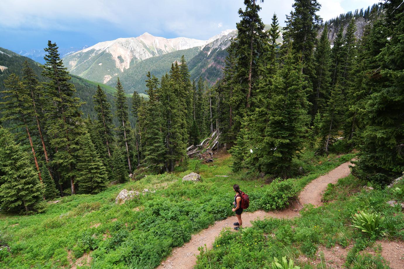
Emerald Lake: via Pine River + Lake Fork #528
~10 mi one-way · ~2,000–3,000 ft (AllTrails 20.2 mi out-and-back). The Lake Fork Trail branches off Pine River near mile 6.3 to Emerald Lake — the largest natural lake in the Weminuche — and Little Emerald, with an option on to Moon Lake (11,600 ft). “Very popular” by Weminuche standards; thaws late July. Camping closure within ¼ mi of the lake (see cautions).
Cave Basin #530
4.5 mi one-way · ~1,550–1,720 ft to 12,360 ft, from a TH near mile 10 on FR 724. Above treeline almost at once: karst limestone benches and sinkholes, and a rim overlook 2,300 ft down to Dollar and Emerald lakes — the best non-technical view in the district. Tread disappears — map/GPS required; storm-exposed; July–Sept. Near-zero crowds. Access is up Middle Mountain (FR 724).
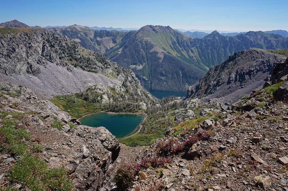
Dark Canyon #814 Runlett Park
~2 mi of steep, motorcycle-grade singletrack (lower FR 724) to the big Runlett Park meadow, with surprising reservoir views; combine with ridge two-tracks toward Tuckerville. Shared with motos; cattle country.
Burnt Timber #667
7.0 mi · 8,50011,600 ft (Transfer Park, Lemon side) — a brutal first mile (~1,000 ft) into huge aspen stands (a fall sleeper) and the gateway to Lime Mesa / Mountain View Crest; the Burnt Timber–Lime Mesa loop is ~13 mi.
Endlich Mesa #534
A historic sheep driveway and the easiest sustained alpine in the district once you're past the drive — miles of open above-treeline mesa to City Reservoir (~8.5 mi one-way, high point ~12,800 ft). The catch: FR 597 is 4WD/high-clearance, 1.5–2.5 hrs from Durango; no water on the mesa; full storm exposure.
Shearer Creek #558
7.8 mi unmaintained old stock driveway toward Missionary Ridge (CR 240, ~mile 12) — a solitude pick with deadfall and faint tread. The first ~2 mi cross private land — stay on trail, close every gate.
Strenuous / overnight (deep Weminuche)
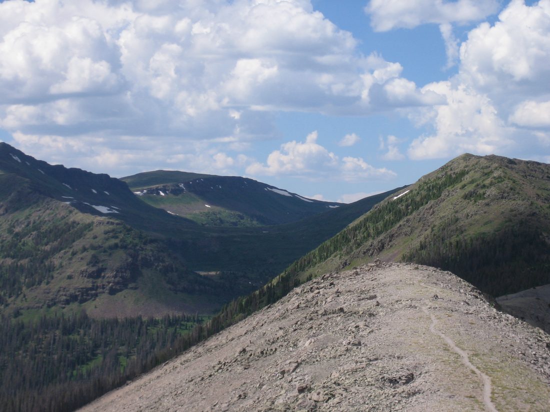
No road access to the inner trailheads — these start from Vallecito Creek or Pine River and go for days.
Vallecito Creek #529: full
~18–19.5 mi one-way · ~3,900–4,600 ft to Hunchback Pass / the Continental Divide Trail — famously gentle grades; the fords are the crux (see flood caution). Junctions: Johnson Creek ~mile 9, Rock Creek ~mile 15–17 (FS pages disagree). A 4–5-day classic with trout in the creek.
Johnson Creek #821
From the Vallecito junction (mile ~9): 7.25 mi · 9,10012,680 ft to Columbine Pass, with Columbine Lake 0.4 mi below — the quiet back-door into Chicago Basin. July–Sept.
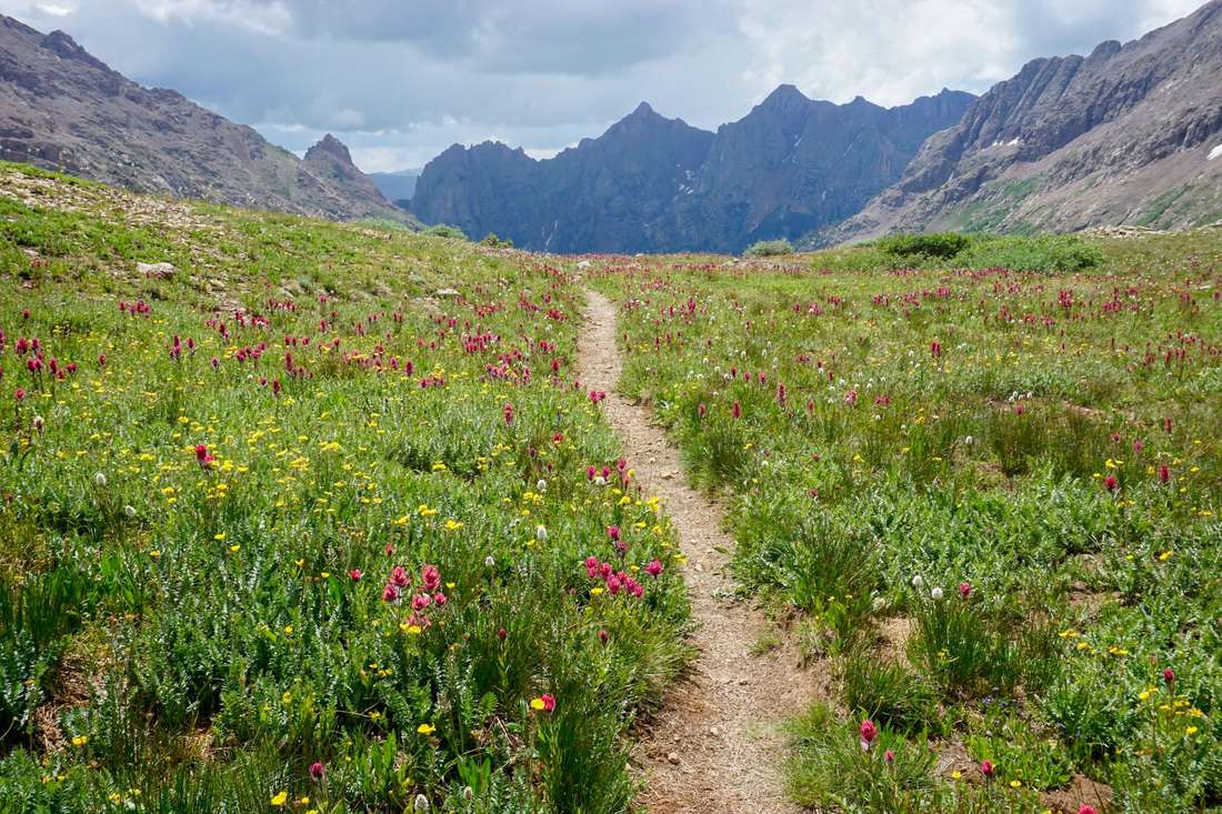
Rock Creek #655
From the Vallecito junction: 5.5 mi to the Divide (12,330 ft), with Rock Lake (11,700 ft) at ~4 mi (fair cutthroat; the Flint Lakes fish well). The centerpiece of the ~36.6-mi Emerald–Vallecito loop; moose and elk country.
Flint Creek #527
Pine River mile ~12 to Rock Creek: 8.4 mi · 9,24012,000 ft past the Flint Lakes under the Pope's Nose. About as obscure — and as quiet — as the Weminuche gets.
Common questions about hiking at Vallecito
What is the easiest hike at Vallecito Lake?
The Lake Trails walk path along the water is flat. The first 0.6 mile of the Vallecito Creek Trail is also flat, and the Forest Service calls it great with kids. Easy trails
Are dogs allowed on the trails at Vallecito?
Yes. Dogs are welcome on the trails and in the Weminuche Wilderness but must be kept under control. Moose have moved into these drainages and unleashed dogs trigger charges, so keep yours close. Dogs at Vallecito
What did the 2025 flood do to the Vallecito Creek Trail?
The October 2025 flood washed away the Middle Bridge, about 5.5 miles up. The crossing near mile 7 is now a 40-foot ford that is dangerous in mid-May to mid-June runoff. Check current status with the Columbine Ranger District at (970) 884-2512. Trail cautions
Page updated · Spot something wrong? Tell us